A pair of Mizzou Engineering researchers has developed a way to monitor civil infrastructure with little more than a device that 77 percent of Americans carry in their pocket each and every day.
Assistant Professor Amir Alavi and Glen Barton Chair of Flexible Pavement Technology Bill Buttlar of the MU Civil and Environmental Engineering Department recently published “An overview of smartphone technology for citizen-centered, real-time and scalable civil infrastructure monitoring,” in Future Generation Computer Systems.
The study outlines how sensors that currently exist in smartphones can be used to estimate the quality of a given road, bridge or runway surface. This data can be used to make critical decisions on repair in heavily trafficked areas. Many modern smartphones include sensors such as gyroscopes, accelerometers and cameras and contain the ability to interface with external sensors, including infrared devices.
“Many of the existing methods to monitor our civil infrastructure systems have technical issues and are not user-centered,” Alavi explained. “People are looking for smart, cost effective, scalable, and user-centered approaches. With current advances in technology, people can help monitor or detect problems using their own devices, and smartphone technology allows us to do that with civil infrastructure.”
Current surface appraisal methods involve shutting down traffic, taking a core sample from the surface and comparing it to a baseline. This can be time consuming and costly to do on a regular basis and stretches personnel resources, as the appraisal requires researchers trained on what to look for.
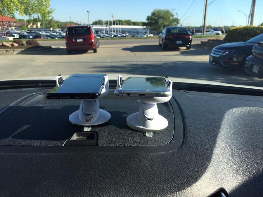
Smartphone applications, meanwhile, can utilize their sensors to detect bumpiness, conditions that cause a driver to slow down, visual data and more, and can be uploaded to a cloud-hosted database with relative ease.
Alavi, Buttlar and their team currently are working on models that will allow for quick utilization of the data, comparing it to what a healthy sample would look like to determine if repairs are needed.
Currently, the goal is to get employees in transportation-related fields to submit data, and the plan is to develop ways to incentivize data collection for all citizens.
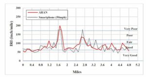
“Assessing roads, bridges and airfields with affordable sensors, such as those found in smartphones, really works,” Buttlar said. “With a smartphone, we can stitch together many inexpensive measurements to accurately assess things like the roughness or deterioration of a road surface in order to make decisions on what is the most efficient way to deploy our repair resources.”